Visa

About Aerospace Information Research Institute
A research institute within the Chinese Academy of Sciences
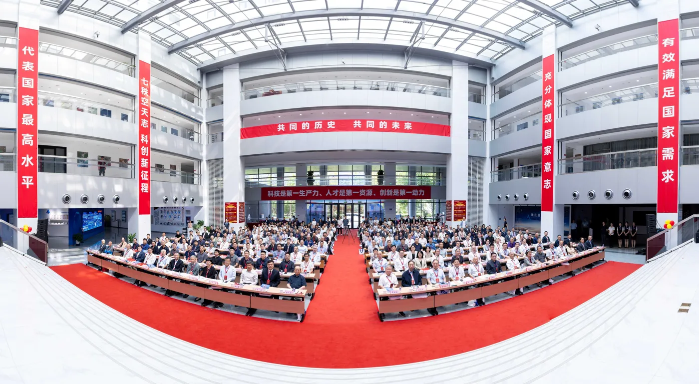
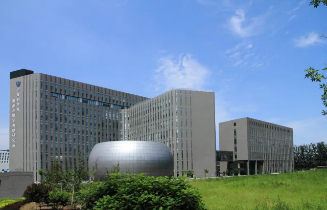
The Aerospace Information Research Institute, commonly abbreviated to AIR or AIRCAS, is part of the Chinese Academy of Sciences. Based in Beijing, it brings together the Institute of Electronics, the Institute of Remote Sensing and Digital Earth, and the Academy of Opto-Electronics. Its institutional identity is that of a research institute combining aerospace information science, engineering and applications with postgraduate education.
The institute's research system spans remote-sensing platforms, optical and microwave instruments, electronic components, satellite ground reception, data processing and applications. Digital Earth and BeiDou navigation and positioning technologies are also included in its published profile. These areas connect the development of instruments with the information collected from them and the uses of that information. Its work extends from physical observing systems to analyses relevant to environmental and sustainable-development questions.
Its international platforms include work on natural and cultural heritage, Digital Earth and disaster risk. The institutional profile also records the establishment in 2021 of the International Research Center of Big Data for Sustainable Development Goals, connecting data-intensive research with the United Nations sustainable-development agenda.
Sources: Institute profile ↗
Postgraduate training through UCAS
AIRCAS combines scientific research with higher education through schools of the University of the Chinese Academy of Sciences, or UCAS. It hosts the School of Electronics, Electrical and Communication Engineering and the School of Opto-electronics. Postgraduate and doctoral training is therefore embedded in a research environment rather than presented as a separate undergraduate university.
Its education platform provides information for prospective international students and profiles of potential supervisors. The supervisory directory connects students with researchers in relevant fields, while its student activity reports describe participation in the wider international academic community. This educational role complements the institute's scientific infrastructure and research teams. It links advanced study with the disciplines represented in electronics, communications, optical technologies and aerospace information.
For example, its education news reported international experts and students joining the Kunming Lake International Friends Walking Event in Beijing in October 2025.
Sources: Postgraduate education ↗
Satellite data reception and archiving
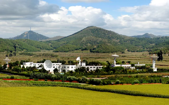
The China Remote Sensing Satellite Ground Station, known as RSGS, began operating in 1986. Its functions include receiving, recording, processing, archiving and distributing satellite information. Beijing serves as the operational and data-processing centre for a network of receiving facilities. The institute's account identifies stations including Miyun, Kashi, Sanya and Kunming, illustrating a geographically distributed infrastructure.
The network has received information from Chinese and international Earth-observation missions. Its historical examples include Landsat, radar missions and the SPOT series. This combination supports different forms of observation rather than relying on a single sensor type. Data services include searching archived imagery, requesting products and receiving processed information. The infrastructure therefore performs a continuing role between satellites gathering observations and researchers or other users seeking usable data products. Its archives also preserve observations that can support comparisons over time.
Sources: China Remote Sensing Satellite Ground Station ↗
Airborne remote-sensing infrastructure
The Chinese Aeronautic Remote Sensing System provides another research platform alongside satellite reception. Its work includes developing instruments, conducting scientific experiments, supporting satellite calibration and verification, and providing observation services for ecological protection, resource investigation and emergency response. Aircraft allow research teams to carry equipment and organise observations for particular experimental needs.
The published system description includes aerial cameras, microwave instruments, radar systems and equipment for observing atmospheric composition. Its data products include orthophoto imagery, surface models, reflectance information and three-dimensional point clouds. These different outputs support the study of terrain and environmental conditions from complementary perspectives. The system also provides services for planning flight experiments, sharing aircraft and instruments and producing tailored data. This makes it a scientific facility for both developing observation technology and applying it to research questions.
International scientific cooperation
AIRCAS describes international collaboration through agreements with universities, research institutions and international organisations. Its activities include bilateral arrangements, joint laboratories, scientific meetings and exchanges involving researchers and students. These provide several ways of organising cooperation, from sustained institutional relationships to focused academic events.
The institute links this work with the development of aerospace information science and questions of global sustainability. International exchange can bring different expertise and regional knowledge to shared research problems, while student and personnel exchanges connect scientific collaboration with advanced training. The institute's international programme therefore forms part of both its research activity and its educational environment, complementing the work conducted through its laboratories and observing infrastructure.
Sources: International cooperation overview ↗
An example of research for energy planning
A March 2026 institute report described research on the global potential for solar photovoltaic deployment. AIRCAS researchers worked with the International Research Center of Big Data for Sustainable Development Goals and the Foreign Environmental Cooperation Center of China's Ministry of Ecology and Environment. The study combined technical conditions with economic feasibility rather than using sunlight availability alone to identify potential opportunities.
The framework brought together information on solar resources, terrain, land cover, protected areas and infrastructure. Remote-sensing data were combined with economic indicators to compare locations. The team also released a dataset covering changes between 2013 and 2023. The example shows how the institute's information-science capabilities can contribute to a practical planning question: identifying where renewable-energy development may be feasible when environmental, physical and financial conditions are considered together.
Sources: Solar photovoltaic research framework, March 2026 ↗